Modernizing land administration through precise mapping and future-ready urban design.
CEIGAI provides comprehensive land use planning services that facilitate orderly development and secure land tenure. We combine traditional surveying excellence with AI-driven spatial analysis.
Our cadastral services establish the legal foundation for property rights, urban development, and infrastructure planning. Whether you're mapping a rural village or designing a modern city district, we deliver accuracy and clarity that stand up to scrutiny.
High-precision boundary surveys and the development of digital cadastral plans for legal and administrative security. Our surveys meet international standards and are court-admissible for land disputes and transactions.
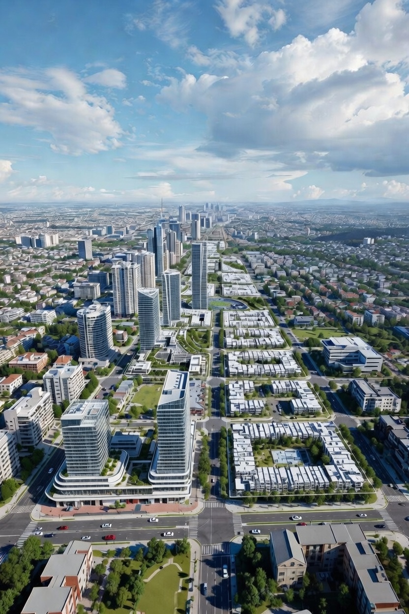
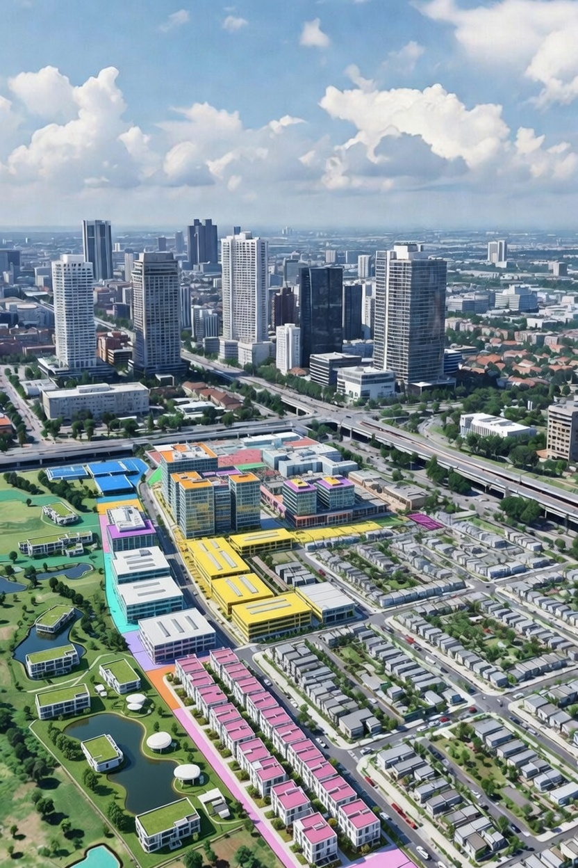
Creating scalable master plans that balance residential, commercial, and green space needs for growing municipalities. We design communities that anticipate future growth while preserving quality of life.
Navigating complex land-use regulations to ensure development projects meet local and international standards. We work with authorities to secure approvals and prevent costly delays or legal challenges.
Developing custom Land Information Systems (LIS) to digitize land records and streamline urban management. Our platforms enable transparent, efficient land administration accessible to both officials and citizens.
Moving beyond paper records and physical markers, CEIGAI digitizes land administration for the 21st century. Our systems integrate seamlessly with existing government frameworks while dramatically improving efficiency and transparency.
Unlike traditional engineering firms, we combine decades of field experience in plantation and urban sectors with cutting-edge AI and Geospatial tools. This allows us to not only design your project but to develop the digital systems that manage it for years to come. From establishing secure land tenure to enabling smart city development, our solutions bridge the gap between traditional land administration and digital-age governance.
